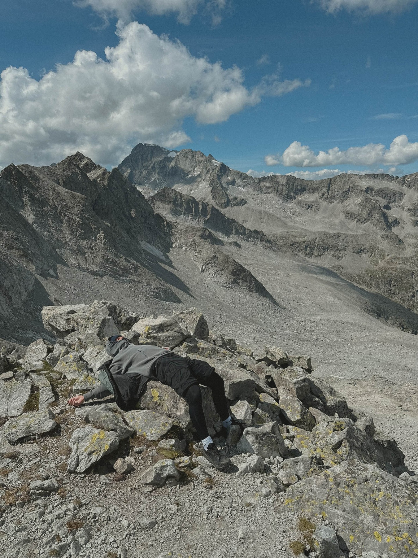
Almerhorn (2986m)
Elevation: 950m / Lenght: 8km / Time: 4h
Visit rate: 2/5 / Rating: 4/5
If you want to know what it's like to be at 3000m, or indeed at all, that's exactly what the top of the Almerhorn will offer you. If you ever get around, be sure to at least stop at Lake Obersee. Obersee is a fairly common name for lakes, so finding this particular one on maps is quite a challenge. After a short research in Google reviews I didn't read anything about a swimming ban, anyway the lake is located at 2000m, so probably not the warmest.
The trail to the top is in the sun all day, so sunscreen was a cornerstone of this expedition I think. The climb to the top takes something like 2 hours and apart from the last 100m before the Jägerscharte pass, where the trail is a bit steeper and you have to be careful what rock you step on, it's a pretty relaxing hike.
The view at the top is really beautiful, you can see the whole High Tauern, the Hochgall peak (3456 m) or the Italian Dolomites. We took all the pictures we could, rest was also good, snack was not bad either and we went down again, nothing more, nothing less.
The QR code will link you to my route in app Mapy.cz (better than Google maps).

